River Mountains Loop Trail

Facebook icon

  • Home
  • About
  • Trailheads and Maps
    • Trailheads in Boulder City
    • Trailheads in Henderson
    • Trailheads in Lake Mead NRA
  • History
    • Geology of the River Mountains
    • A -Desert Tortoise – Do’s & Dont’s
    • Keep It Clean
  • Blog
    • Recently on Facebook
  • Contact
    • Contact List
  • Donate

History of the Trail

Historic rail trail switch backs

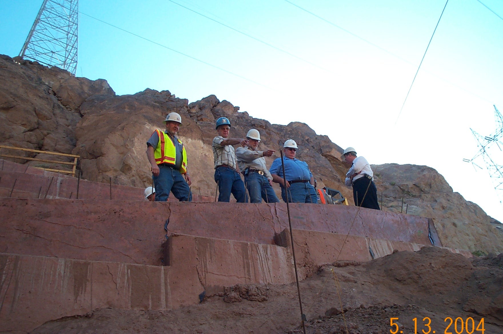
Hoover connector trail – contractor & trail partners 2004

The history of the River Mountains Loop Trail is interesting since it represents a dream come true for many of those involved. Quite a few citizens and agencies were involved in planning, designing and constructing this multi-use, non-motorized 34-mile loop trail. It provides links and connections to other trails throughout the Las Vegas Valley.

In the Beginning

We started in 1996. There was 18-months of focus groups and stakeholder meetings to determine trail design, location, uses, themes, etc. These meetings were conducted by the National Park Service – Rivers, Trails, Conservation Assistance (RTCA) program headed up by Barbara Rice. In Fall of 1997 the stakeholders held an election of officers and the Advisory Council was formed. The River Mountains Trail Partnership started out with 30 partner members. The Advisory Council was made up of one primary representative and one alternate. This group met regularly every month for over 16-years. Their primary purpose, besides being advisory to the land managers, was to keep the group motivated and moving forward with planning, grant applications and construction schedules. The Advisory Council acted as a clearinghouse for new ideas and provided a public forum for issues.

Partners

The original 30 partners were a broad cross section of trail stakeholders. There were federal, state, county and city entities as well as private landowners. Over the years the mix and numbers changed. Some of the original partners were:

Federal Partners

  • National Park Service-Lake Mead
  • Bureau of Reclamation (BOR)
  • Bureau of Land Management (BLM)
  • Natural Resources Conservation Service

Local Government

  • City of Boulder City
  • City of Henderson
  • City of Las Vegas
  • Clark County

Business and Corporations

  • Lake Las Vegas Resort
  • NV Energy
  • The Landwell Company
  • Railroad Pass Hotel & Casino

Regional Agencies

  • Southern Nevada Water Authority (SNWA)
  • Regional Transportation Commission of Clark County (RTC)
  • Conservation District of Southern Nevada

The project, as many of the ongoing efforts to enhance the enjoyment of our incredible outdoor areas in and around Clark County, remains a work in progress!

Recent Blog Posts

Dogs on the Trail

Las Vegas Hiking Trail Featured in Article

Las Vegas Hiking Trail Featured in Article

Pacifica trail head Boulder City on the new trail website.

New Trail Website

Be Sure to Visit

Latest Posts on Facebook

Comments Box SVG iconsUsed for the like, share, comment, and reaction icons
Author Avatar
River Mountains Loop Trail
6 days ago

We are EXTREMELY short on survey responses for statewide outdoor recreation needs!

Please click the link below to take the Statewide Comprehensive Outdoor Recreation Plan (SCORP) survey (about 5-7 minutes). The SCORP is a 10-year plan that establishes priorities to address unmet needs for public outdoor recreation land throughout the state. This is vital information for continued funding and outdoor recreation access in Nevada!

... See MoreSee Less

Link thumbnail

2027-2036 Nevada Statewide Comprehensive Outdoor Recreation Plan (SCORP) | State Parks

parks.nv.gov

Find your next adventure at parks.nv.gov
View on Facebook
· Share
Share on Facebook Share on Twitter Share on Linked In Share by Email
View Comments likes 2 Shares: 1 Comments: 0

0 CommentsComment on Facebook

Author Avatar
River Mountains Loop Trail
4 months ago
The River Mountains

The River Mountains Loop Trail detour will begin 8/4/25 and last for 30 days to install waterline adjacent to the RMLT between reservoirs R7 &R12 (approx. 2,500 feet) along with two trail crossings. The waterline trench is within a few feet of the edge of trail and would pose a hazard to the trail traffic being in close proximity to the open trench and equipment. Several options were considered by the City of Henderson, and the attached detour was selected as the safest and easiest physically option to the public while keeping the trail functional and on similar pavement. ... See MoreSee Less

View on Facebook
· Share
Share on Facebook Share on Twitter Share on Linked In Share by Email
View Comments likes wow angry 15 Shares: 5 Comments: 11

11 CommentsComment on Facebook

Author Avatar
River Mountains Loop Trail
5 months ago
RMLT DETOUR! The Lak

RMLT DETOUR! The Lakemoor development will be doing work in the near future that affects the trail. Attached is the detour route that has been approved. The work is anticipated to be at least 2 months (60 days), and the work is anticipated to start on July 21, 2025. ... See MoreSee Less

View on Facebook
· Share
Share on Facebook Share on Twitter Share on Linked In Share by Email
View Comments likes wow angry 9 Shares: 0 Comments: 5

5 CommentsComment on Facebook

Load more

View Full-Sized